Maps of Lantau
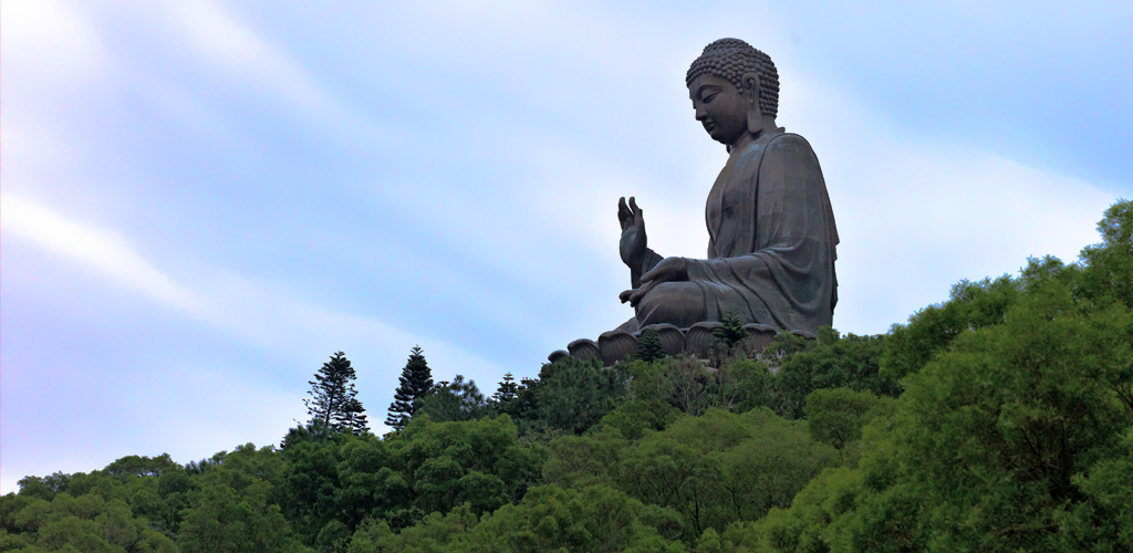
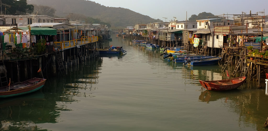
Physically the biggest island in the Hong Kong Special Economic Region the island of Lantau has a mountainous geography that originally meant settlements were mostly at the coast, and not interconnected. Today with the development of the airport to the north, the Hong Kong Disneyland and Tsing Ma Fixed Crossing to the east and the Ngong Ping village in the center means that the whole island is now well interconnected.
At the same time the HK Government has elected to maintain some boundaries between different parts of the island so as to allow economic development to not interfere with the rural lifestyle found on the western part of the island. Therefore some roads do not allow through traffic and it is for example not permitted to drive directly from the residential development at Discovery Bay to the airport at Chek Lap Kok.
Large portions of the island are also Country Parks and strict regulations prevent building or even driving of cars in these parks.
View Larger Map